


For 20 years, and continues: that is the last that is when Google Maps was launched on 8 February 2005. They have spent the last two decades, from the debut of the service, where millions of users are now relying on to achieve all of them, all over the world, and taking into account the updates in real-time, on the terms and conditions of the traffic. It is interesting that on the same day (February 14), was set up on YouTube, a platform that BigG going to take at a later date.
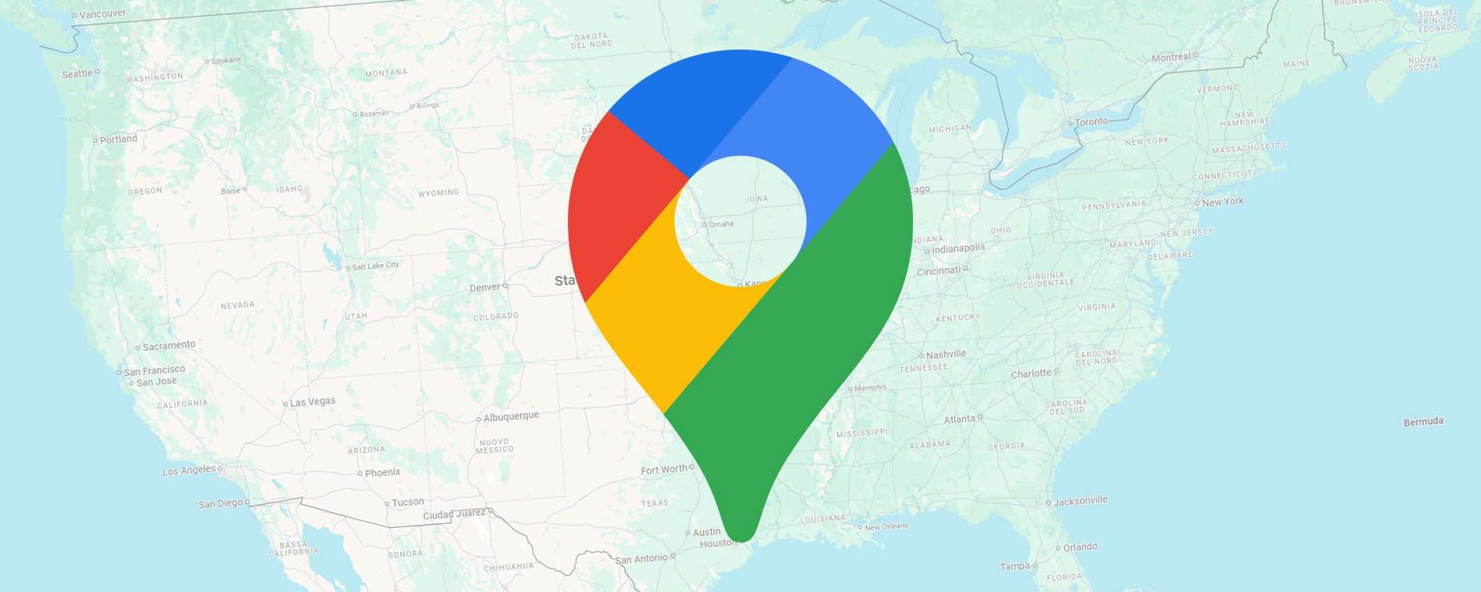
20 years of Google Maps
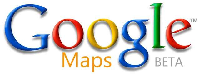
Here's where you tell a 5 some of which you may not be aware of. Let's start with the thing of the past, to an era to another, taking into account the evolucionet recorded on the online world. It's attached below is the logo of the first one, with a shade of meaning to it.
A program in C++
The initial idea was to Google it, but the two brothers project, Lars and Jens Eilstrup Rasmussen. Along with the Noel Gordon and Stephen Ma, from Australia Where 2 Technologies, they began to work on the the year of 2003. In the beginning, it was supposed to distribute as well as a programme of independent, written in C++, but after the contact is a beginner to bigG, it's changed, and she became a client's Web site in October 2004.
Hurricane Katrina
At the end of August 2005, after only a few months after the activity, Hurricane Katrina destroyed a portion of the Eastern Shore of the United States. This was an important test of the ability of the Maps: the company laid fast satellite images of the up-to-date in the area of New Orleans, while allowing the occupants, and the reaguesit to the emergency room to evaluate the impact of catastrophic event.
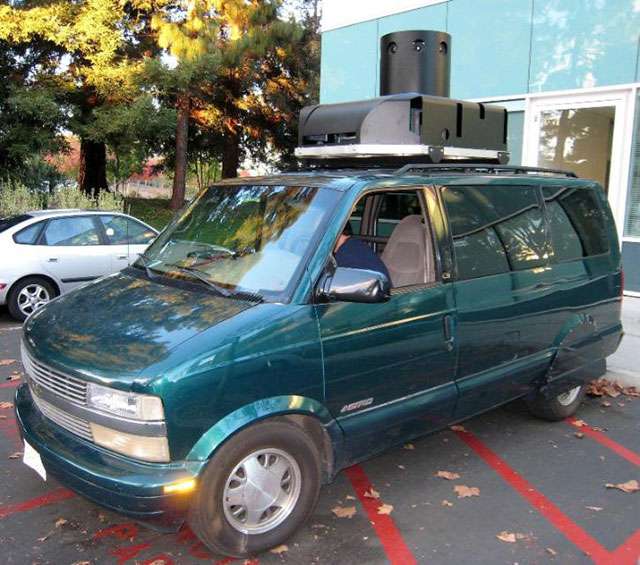
Furgoni, the first
Forget the direction of acquire: it perpetuated the following is furgoni, and first used in 2007 by the team of Google Maps, to capture images in 360 degrees for it to load the Street View. On the roof, a device used to shkrepjen, which has been optimized in the course of time, it is clearly visible.
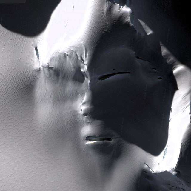
The Google Maps or the X-Files
The archive service is filled with the details of a very strange and, at times, almost as a matter of concern. There are so many websites that collect them for you in one (1, 2, 3). The one above all? A face of a large hidden under the ice in the region of the Antarktidës.
Pegman o-Nessie?
Pegman is maskota of Google Maps, one of the smallest of the yellow-you may keep it on a map, to activate the mode “Street View”. There are a few spots in the world where, it turns into something different, the style of the real easter egg.. For example, in the Loch Ness in Scotland, where it takes the form of a monster Nessie.


Discussion about this post